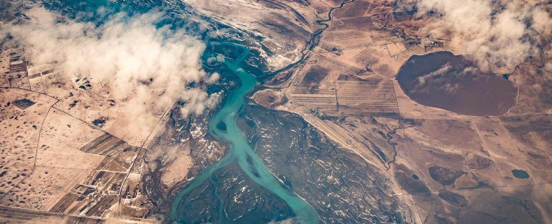
Geospatial data is about places. It might be about a specific building, a river or other natural feature, or a broader location like a city or country.
This report summarises the desk research carried out as part of the ODI project to explore challenges that face the UK’s geospatial data infrastructure, and opportunities to support the publishing and use of openly licensed geospatial data.
Geospatial data’s importance for different sectors makes it essential that the UK has both a strong open geospatial data infrastructure and the capacity to use it to its full potential.